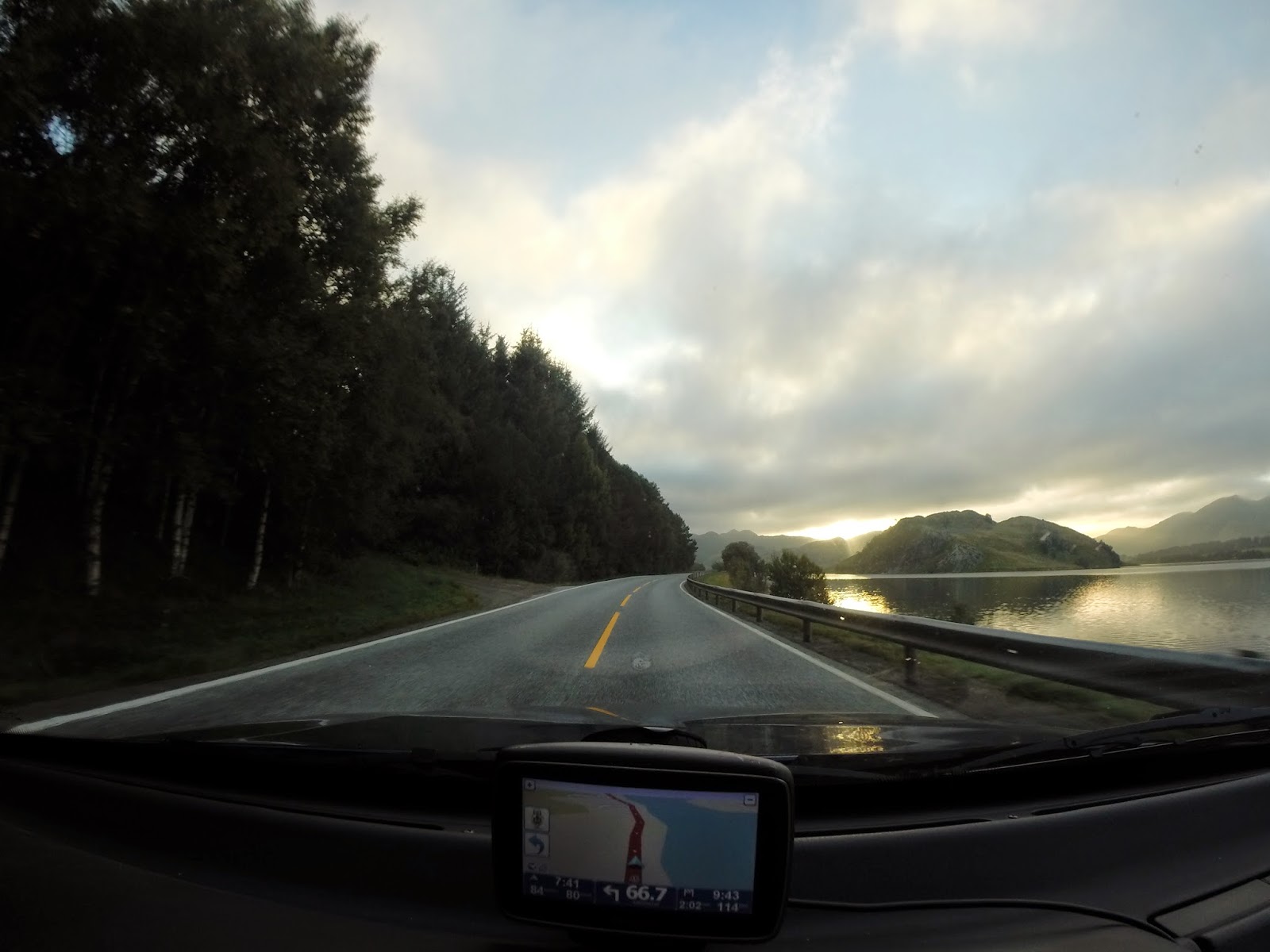
Early in the morning we left for Lom, a small city near the national park Jotunheimen. The tourist information centre in Lom will answer all your questions about the park. They also sell maps of the park. To save some weight, we made a few photo's of the map, which worked perfectly in the park. After Lom we drove to Spiterstulen to start the trip. We would be hiking for four days and we packed only the basic essentials. Though my gear is ultra lightweight, the backpacks weighed approximately 12 kilos. The food weighed the most since we had almost 1 kg per person per day (normally I eat decent portions, but during hiking the quantities increase a lot and there's nothing worse than being hungry whilst hiking). We had only 1L of water per person with us since there are so many streams of melt water that there is absolutely no need to carry more weight with you. The water quality is perfect, but don't drink just any water. Always try to find a stream with a decent flow and try to get your water a bit upstream (there might be waste from humans near the track). Also scout the river/stream for animal waste and dead animals (those things can make you very sick). These tips worked perfectly for us and we had no problems drinking the water.
I'm not sure what was going on, but every day we were not driving, we had perfect weather. The trip started perfectly. We would hike the first day from Spiterstulen to Glitterheim, a trip of 14km. The start of the trip with in the centre Spiterstulen in the distance:
The scenery was extraordinary! It was a really special feeling to be hiking here, just the two of us. During the entire day we only saw six other hikers. At some point we just screamed at the top of our voice because we could and there was nobody around to hear us.
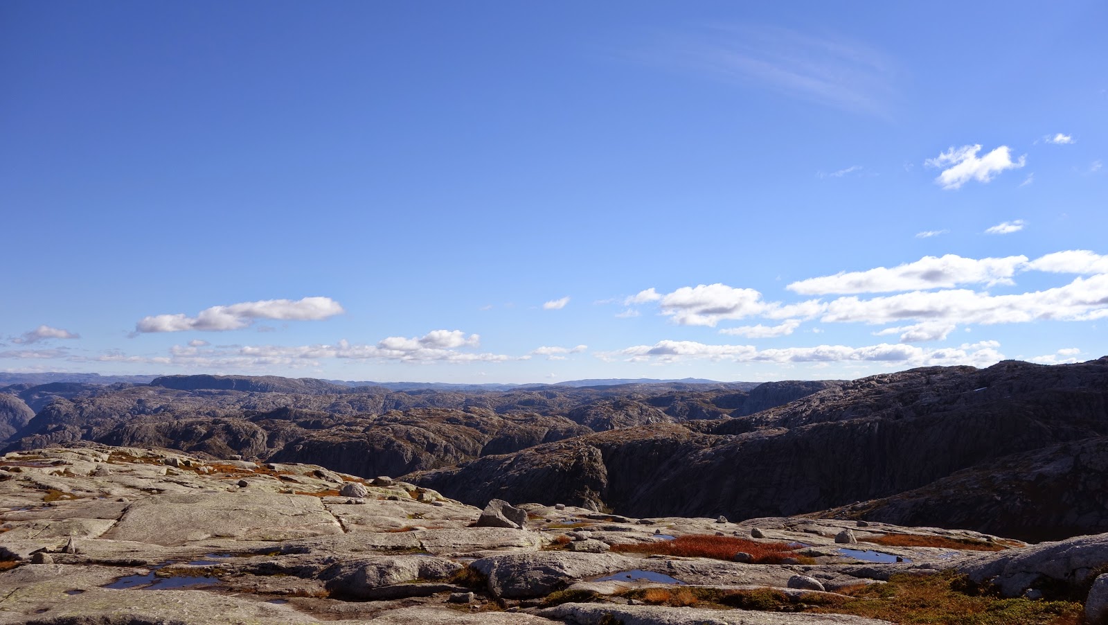
As we climbed higher the landscape changed. Eventually there were only rocks:
We had slightly miscalculated our walking speed. Normally we are fast walkers and we could easily walk 5km/h. But because of the rocks, the many stops to overcome the mesmerising surroundings and also the altitude meters we only achieved 3km/h. We had to walk 14km, but this is the flat distance on a map from a to b. We also had to climb 1000 meters (the track goes up and down, so the total amount of altitude meters is a lot more), which makes the total distance a lot longer. After seven hours walking we arrived in Glitterheim in the twilight:
The next day we left early in the morning for Memurubu, 20 km away and now we would be descending 1000 meters. During the day it was warm enough to walk in a t-shirt with long pants, but it was pretty chilly during the night and early mornings.
The trails are perfectly maintained and you won't have to worry about getting wet feat:
There's a distinct difference between the colour of the water of the previous two photo's. I wouldn't recommend drinking the water of the second photo as this contains a lot of residue from the glaciers (it tastes a bit strange and you probably get a bit gassy, but you won't die from it).
Wow, what a view again!
In the distance a herd of reindeer. The slowly walked around us as we stood there watching them:
Wow again, the colour of the grass combined with the perfect blue water and sky!
One of the many small streams we had to pass:
Just before sunset we arrived at Memurubu. Again we walked longer than anticipated: 10 hours instead of 8. Though it was a long day of hiking with a heavy backpack, we enjoyed every second of it! The scenery is breathtaking beautiful and besides a few other hikers it's only you and mother nature. It's difficult to explain, but being there and carrying everything you need with you is something really special.
The next morning we were greeted with perfect weather again:
It's really strange to see when the water is almost as blue as the sky and you're not on a tropical island:
Unfortunately some clouds took over the sky that day, but I didn't really mind. When we planned our trip to Scandinavia in the beginning of September, it never occurred to me to bring sunscreen with me. With the last few days of perfect weather I managed to get a slight sunburn! And that's really special for me because I normally get brown really quickly.
The tracks are marked perfectly with stone pillars with a red T on it. Also the crossings are marked with signs for the different directions. So getting lost is impossible!
The third day we walked from Memurubu to Gjendebu and stopped for the night between Gjendebu and Spiterstulen. You are allowed to camp anywhere in the park. It's possible to camp at the huts (hytte) for a small amount of money, but if you are at least 1 km away, it's free of charge. The huts have showers, toilets, normal beds (if you don't want to camp) and a restaurant (if you don't want to carry to much food with you). If you're camping, note that the higher you get, the more rocks you will find, making camping very difficult. So don't climb that last peak in the twilight as it might be possible that you have to walk another hour to find a comfortable spot.
The fourth day we left at 06:00 because that day we would be driving to Bergen. Early that morning we passed a high peak with snow:
An example of a place where it's difficult to find a camping spot:
After four days of hiking we were exhausted! But what an experience! The scenery is something I haven't seen before and I wouldn't mind coming back. I never knew Norway had such beautiful national parks. If you're planning to go to Norway and still doubting if you should hike there, I can only say one thing: GO!
After a big lunch and a quick shower at the hut, we left for Bergen.


