For non Dutch readers, use the translation app on the right hand side for my old Dutch blogs

Hi there,

Thank you for visiting my blog. Via this digital medium I'm trying to give you a glimpse of my effort to travel the world. On the right hand side there's an overview of where I've been whilst blogging. Hopefully I'll succeed in making you jealous enough to follow me in my footsteps to the places I've blogged about, but also to places I haven't seen yet. Enjoy!

Sven
Showing posts with label Norway. Show all posts

Overview Scandinavia

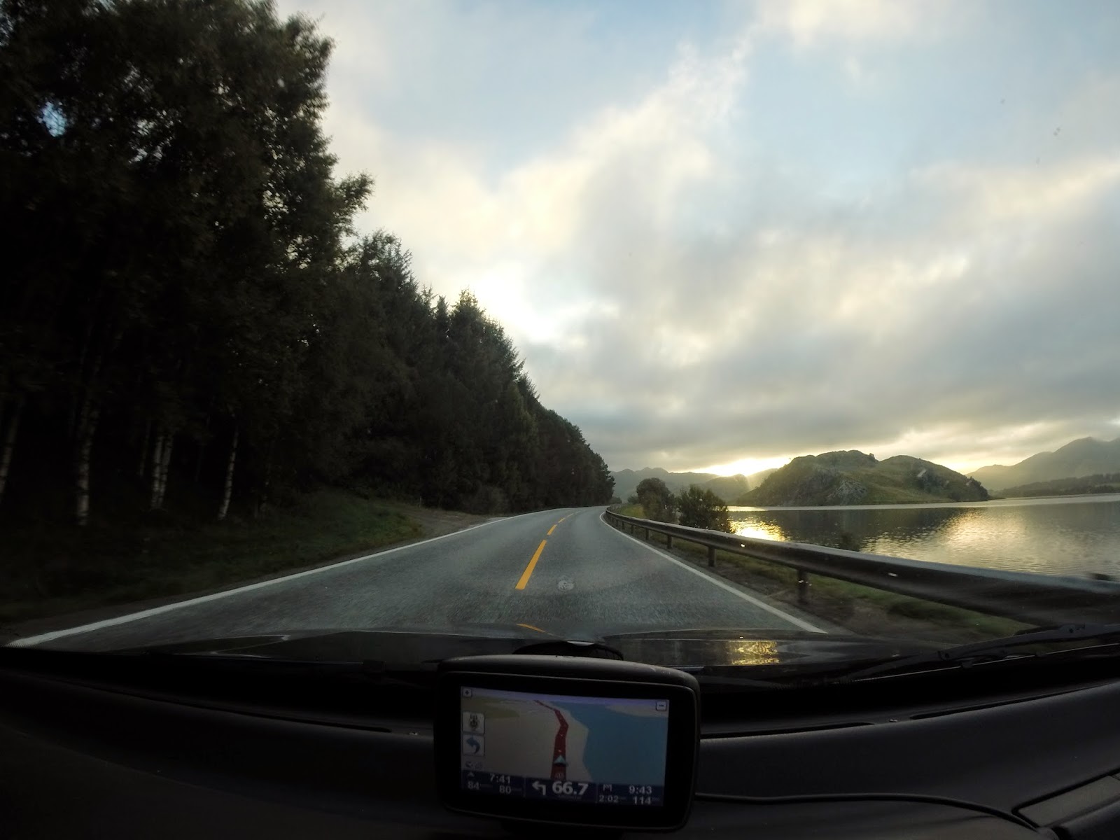
While driving we made some photos through the windscreen of the car for a nice movie of the road trip. Since a movie with only photos of the road is a bit boring, I've added some additional photos to give a nice overview of the entire trip in just four minutes. For more photos look at the specific blog posts.


With this movie, the posts about my adventures have temperarily come to an end. But not to be worried, this spring I'll be going to Azia! I still have to figure out which countries and when, but you'll hear from me quickly.

Sven

Oslo

Oslo's welcome wasn't what we had hoped for.. I got my first ticked ever. But to make it even worse, I got two tickets. The first ticket was in the parking area next to the hostel. On their hostelbooker page they wrote they had their own parking space next to the building. In the ten minutes we were inside to ask how that would work (and finding out they didn't had any parking spaces), we got our first ticket. So we decided to park on the street to save some money (it was free after 21:00). I knew it was forbidden to park near a corner or pedestrian crossing, so there was approximately three meters between my bumper and the pedestrian crossing. That should be more than enough; it was almost big enough to park another car there. The next morning we found out that it wasn't enough and it has to be at least 5 meters. Almost 200 Euro's down the drain. So if you go to Norway by car, look up the current parking rules! Also look at the the automated toll system. We found out about this system when we were already in Norway, so I'm currently waiting for the fine.

Besides this, we had a nice stay in Oslo:  


To be honest, compared with Stockholm and Copenhagen, I liked Olso the least. Copenhagen is my favourite and Stockholm ends up in the middle. When walking through the city center, the vibe in Oslo was completely different compared to the other two cities and it feels if there is less history. Though Oslo is still a realy nice city, Stockholm and Copenhagen were more beautiful.

Pulpit Rock (Preikestolen) and Kjeragbolten

When we were planning our trip through Scandinavia, Djawid and I had seen many beautiful pictures of the fjords around Stavanger and Bergen. Trolltunga was breathtaking, but unfortunately not really on the route and we didn't have enough time for the hike (it's approximately 8 hours back and forth). But Preikestolen and Kjeragolten would easily compensate this loss. We thought Preikestolen and Kjeragolten were located near each other and the plan was to visit them both that day. We headed for the docks of Stavanger and by staying in the car on the ferry we saved around 20 Euro (on the main deck there are a few inspectors where you can buy a ticket for the ferry, but when you drive off the ferry they don't check the cars if they have paid. So a lot of people stay in their car to avoid paying for a ticket). 

Unlike the previous days were we had a lot of sun shine, it was very clouded this day:


As a result of the clouds we weren't able to see the 604 meter sheer dropoff, as can be seen here.


That was a bit of a bummer. But standing on a rock stuck in a 1000 meter cliff would still be spectacular in the clouds. It was only 60 km away from Preikistolen, but after we hiked back to the car, the navigation system told us it would take 3 hours to get there. Wow, we didn't expect that.. It was now two o'clock and with a three hour drive and an hour walking we would arrive there at six. Oké, that was unexpected (we should have done a bit more homework before we left that morning). We decided to go back to Stavanger and go to Kjeragbolten early the next morning before we would drive to Oslo (a seven hour drive).

That morning we woke up at 5 o'clock, it was still dark and we had no idea if it was still clouded. As the sun came up, it slowly burned through the clouds:


As we arrived at the start of the trail, we had clear blue skies:


The trail was pretty easy for these two young lads and it took us a bit more than an hour to reach the rock (most people do it in two hours). This was the result:


What a stunning view! And we got really lucky with the weather. After half an hour a few other people arrived, but they didn't dare to stand on the rock. I had already seen there was a tiny ledge behind the rock and together with Djawid we decided to scare these people a bit:


That morning it was still a bit chilly, but on the way back the sun made us sweat a lot. Before we would suffocate each other in the car for the next six hours with lovely smells, we decided to freshen ourselves a bit with ice could melting water:


Than it was off to Oslo.

Bergen and Stavanger

The trip from Jotunheimen to Bergen is only 350km, but it took us approximately six hours to reach Bergen. This is because the route goes via a small and long mountain toll road (the automated system only accepts credit cards). Before we passed the high mountain peak, we had clear skies with beautiful views. Unfortunately this changed as we drove over the mountain and were greeted by clouds. A lot of dark clouds! This was to be expected since we were heading to the wettest city of Norway: on average it rains 235 days per year in Bergen! We drove through many beautiful fjords, but due to the weather and our lack of energy (we were completely exhausted from the trip through Jotunheimen) we didn't stop to make any photos. As we arrived, Bergen was able to add another rainy day to its list. But the next morning when we woke up, we were greeted by sunlight! After a quick breakfast we headed for the old part of the town: Brygge.


Somehow we managed to get two consecutive sunny days! As we took off to Stavanger, the clouds rolled in. Since there are many fjords in this area, we had to take two ferries to reach Stavanger.


As we arrived in Stavanger, we found out again that travelling off season in Scandinavia also has some drawbacks: all the hostels and cheap hotels were either full or closed down for the winter. Eventually we found a campsite which rented out small cabins. That night we went early to bed as we would visit Pulpit Rock (Preikestolen) the next day. Besides the beautiful fjords and cliffs around Stavanger, there wasn't much going on in the city centre. 

Jotunheimen

Early in the morning we left for Lom, a small city near the national park Jotunheimen. The tourist information centre in Lom will answer all your questions about the park. They also sell maps of the park. To save some weight, we made a few photo's of the map, which worked perfectly in the park. After Lom we drove to Spiterstulen to start the trip. We would be hiking for four days and we packed only the basic essentials. Though my gear is ultra lightweight, the backpacks weighed approximately 12 kilos. The food weighed the most since we had almost 1 kg per person per day (normally I eat decent portions, but during hiking the quantities increase a lot and there's nothing worse than being hungry whilst hiking). We had only 1L of water per person with us since there are so many streams of melt water that there is absolutely no need to carry more weight with you. The water quality is perfect, but don't drink just any water. Always try to find a stream with a decent flow and try to get your water a bit upstream (there might be waste from humans near the track). Also scout the river/stream for animal waste and dead animals (those things can make you very sick). These tips worked perfectly for us and we had no problems drinking the water.

I'm not sure what was going on, but every day we were not driving, we had perfect weather. The trip started perfectly. We would hike the first day from Spiterstulen to Glitterheim, a trip of 14km. The start of the trip with in the centre Spiterstulen in the distance:


The scenery was extraordinary! It was a really special feeling to be hiking here, just the two of us. During the entire day we only saw six other hikers. At some point we just screamed at the top of our voice because we could and there was nobody around to hear us.


As we climbed higher the landscape changed. Eventually there were only rocks:


We had slightly miscalculated our walking speed. Normally we are fast walkers and we could easily walk 5km/h. But because of the rocks, the many stops to overcome the mesmerising surroundings and also the altitude meters we only achieved 3km/h. We had to walk 14km, but this is the flat distance on a map from a to b. We also had to climb 1000 meters (the track goes up and down, so the total amount of altitude meters is a lot more), which makes the total distance a lot longer. After seven hours walking we arrived in Glitterheim in the twilight:


The next day we left early in the morning for Memurubu, 20 km away and now we would be descending 1000 meters. During the day it was warm enough to walk in a t-shirt with long pants, but it was pretty chilly during the night and early mornings.

The trails are perfectly maintained and you won't have to worry about getting wet feat:


There's a distinct difference between the colour of the water of the previous two photo's. I wouldn't recommend drinking the water of the second photo as this contains a lot of residue from the glaciers (it tastes a bit strange and you probably get a bit gassy, but you won't die from it).

Wow, what a view again!


In the distance a herd of reindeer. The slowly walked around us as we stood there watching them:


Wow again, the colour of the grass combined with the perfect blue water and sky!


One of the many small streams we had to pass:


Just before sunset we arrived at Memurubu. Again we walked longer than anticipated: 10 hours instead of 8. Though it was a long day of hiking with a heavy backpack, we enjoyed every second of it! The scenery is breathtaking beautiful and besides a few other hikers it's only you and mother nature. It's difficult to explain, but being there and carrying everything you need with you is something really special.

The next morning we were greeted with perfect weather again:


It's really strange to see when the water is almost as blue as the sky and you're not on a tropical island:


Unfortunately some clouds took over the sky that day, but I didn't really mind. When we planned our trip to Scandinavia in the beginning of September, it never occurred to me to bring sunscreen with me. With the last few days of perfect weather I managed to get a slight sunburn! And that's really special for me because I normally get brown really quickly.

The tracks are marked perfectly with stone pillars with a red T on it. Also the crossings are marked with signs for the different directions. So getting lost is impossible!


The third day we walked from Memurubu to Gjendebu and stopped for the night between Gjendebu and Spiterstulen. You are allowed to camp anywhere in the park. It's possible to camp at the huts (hytte) for a small amount of money, but if you are at least 1 km away, it's free of charge. The huts have showers, toilets, normal beds (if you don't want to camp) and a restaurant (if you don't want to carry to much food with you). If you're camping, note that the higher you get, the more rocks you will find, making camping very difficult. So don't climb that last peak in the twilight as it might be possible that you have to walk another hour to find a comfortable spot.

The fourth day we left at 06:00 because that day we would be driving to Bergen. Early that morning we passed a high peak with snow:


An example of a place where it's difficult to find a camping spot:


After four days of hiking we were exhausted! But what an experience! The scenery is something I haven't seen before and I wouldn't mind coming back. I never knew Norway had such beautiful national parks. If you're planning to go to Norway and still doubting if you should hike there, I can only say one thing: GO!

After a big lunch and a quick shower at the hut, we left for Bergen.

Rondane National Park

After a day of driving, we arrived in the small town of Otta. There's nothing special to see in the town itself, but near Otta is the Rondane National Park. We saw a few beautiful pictures of the park and decided to see it ourselves.

We left for the park around 12:00 (a bit late, as we had to arrange some things). There is a normal road till the park entrance and from there you can walk or take a toll road till another car park (13km). To enter the toll road, you need a credit card to open the gate (in the Netherlands most cards work with Maestro, but they don't work. This also holds for some ATMs and machines for parking tickets, so take a card with your from Mastercard or Visa when visiting Scandinavia). When we drove into the park, we were welcomed by this view:


Wow! And we would be climbing one of those mountains today!

From the car park we had to walk 6 km to the first hut, from where the trail to the mountains would start. There are also bikes for rent if you don't want to walk that 6km. You call a certain number, they give you the code for the bike and when you arrive at the hut you have to pay for the bike. I looked around a bit and found an unlocked bike. So we decided to take/borrow the bike, stop a few kilometers before the hut, hide the bike and use it for the way back again. Haha, you have to do something if you want to save some money in Scandinavia! Life isn't cheap around here. After we ditched the bike we continued to the hut.


After we passed the hut, the trail quickly changed:


As we were heading up to to the peak Storronden, a few hikers already returned from the peak. It was now around 15:00 and according to the hikers it would take another 2.5 hours. They were a bit confused that we were still going up. The trail became more difficult and steeper:


After two hours of walking, we arrived at the top at 2138 meters. The last part of the trail was still covered in snow. What a view:


Around 18:00 we went back again. Going down goes a lot quicker, but it's more heavy for the knees. After two hours we were back again at the car park. In the following picture we're pointing at the mountain we just conquered:


The road you see behind us is the road to the hut in Ronvassbu. You can drive here by car (saves you 6 km of hiking or renting a bike), but unfortunately it's only accessible for personnel of the hut.

In seven hours we walked 22 kilometres and climbed almost 1000 meters. Djawid's and my knees were slightly protesting.. We quickly returned to Otta, since tomorrow we would go to the next national park for more hiking!